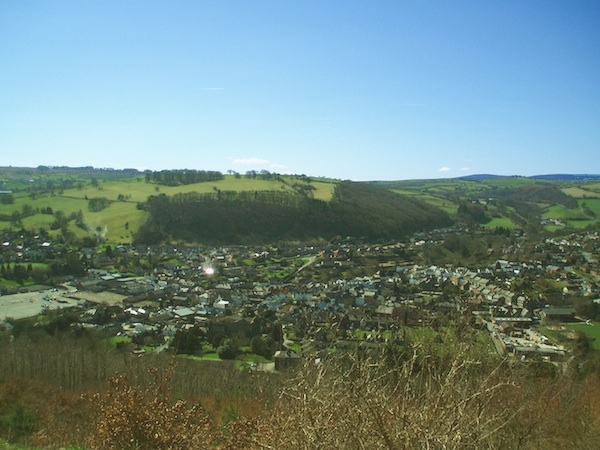
View over Knighton as it nestles in the Teme Valley
Area of Outstanding Natural Beauty (ANOB), tourism and walkers country
The Roundhouse is located on the very edge of Knighton, which lies half way along the Welsh border. Knighton has the advantage of sitting on two long-distance National Trails; Offas Dyke Path (176 miles), and Glyndwr's Way (135 miles), as well as numerous local paths. Another National Trail, Jack Mytton Way, that travels through the ANOB and includes Wenlock Edge is less than 10 miles away. The Property looks out onto Kinsley Wood, one of Britain's ancient woodlands, where there are public paths and picnic area. Other woods can be seen from the property. A tourist centre is located in the town. In the vicinity are other attractions such as Caer Caradoc, an ancient British hill fort. The UK's Spaceguard Centre and observatory provide tours and hosts a planetarium; it can be seen from the property. A museum of the area has opened, to which the current owner of the Roundhouse has contributed.
Although Knighton is a small and amazingly friendly town, it supports a wide range of locally owned shops and a supermarket with local identity. There is an annual carnival and show with two processions including one by torch light. The show typically exhibits livestock, pets, competitions, vintage cars, vintage tractors, handicrafts and a host of other items illustrating the vibrancy of the local population. My favourite are the axe men competitions where competitors armed only with an axe chop though large tree trunks in mere seconds. In addition, Knighton hosts an annual town crier's festival and competition, has a tourist centre and leisure centre, it's own silver band and various clubs and societies for adults and children.
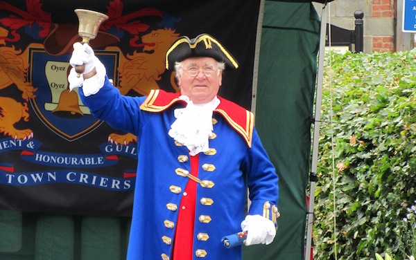
One of the contestants in the town criers competition still held each year in Knighton.
Other facilities in the town include a park and other green spaces, leisure centre with pool, football, rugby, golf, riding, and boles pitches with sports clubs, school, fire station, hospital, ambulance station, doctors practice and 3 dentist practices. The telephone exchange has been modernised and provides high speed quality internet allowing internet based tele-working and e-businesses.
Economy
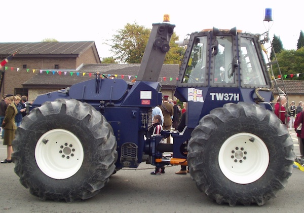
Locally made specialist marine tractor at the annual Knighton Show.
Despite the smallness of the town, Knighton boasts companies with national and international acclaim. Laminating Technology are the world's leading manufacturer of Infrared Heat and Vacuum Applicators for the aerospace industry. The Royal National Lifeboat Institution's various specialised lifeboat tractors are made in Knighton. Modularwise, a growing company, manufacture modula buildings (houses, extensions, amenity buildings) in quality factory conditions. Radnor Hills Mineral Water Company; well you can guess what they do. Protocol Control Systems make electric control gear for commercial machinery. Many inhabitants of Knighton work in power distribution. Smaller companies provide national services or cater to local needs. Internet e-busineses and teleworking are popular in Knighton given the local high speed internet access. Local e-businesses include web mastering, graphics design, specialist e-retailing (eg guitars, antique firearms, books (50,000 stock), importation administration and teleworking. Agriculture, veterinary, and food are also well represented; locally produced beef, lamb, and pork are available. Tourism is probably the most visible local industry in this Area of Outstanding Natural Beauty where National Trails converge.
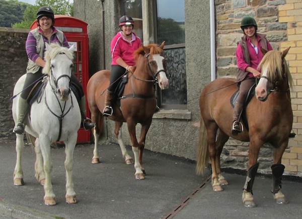
Horse riders stop outside the Roundhouse. Pony and trap can also be seen from time to time.
Transport
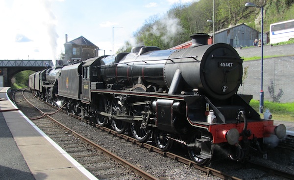
Steam locomotives at Knighton Station in 2012. The Roundhouse can be seen in the background.
The regular train service, and steam and other heritage specials, run along the scenic Heart of Wales Line. The line runs from Shrewsbury, the county town of Shropshire, to Swansea in South Wales. Trainspotters would appreciate the windows on the south side of the Roundhouse providing a ring-side seat of passing trains as they trundle slowly into or out of the station.
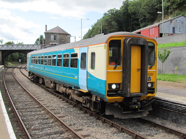
The single carriage class 153 Super Sprinter train to Shrewsbury at Knighton Station in 2013, class 150 trains are also in use. There are five trains in each direction on weekdays, with final destinations of Shrewsbury, Crewe, Swansea, and Cardiff Central. The Roundhouse can be seen in the background.
Being close to the borders of three counties, there are bus services to Ludlow in Shropshire, Newtown in Powys, and Kington in Herefordshire. Knighton itself straddles the border; The Roundhouse is the last house in England when journeying into Wales (and the first house in England when coming back).
The town's shops are just five minutes walk away. Knighton lies on the A4113 and A488. The A488 goes past the property; despite its name, it is more of a quiet B road; most North-South traffic uses the A49 and A483 instead. A quiet lane of cottages runs in front of the house where there is a garage for school busses.
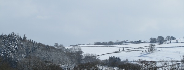
View from window looking South East
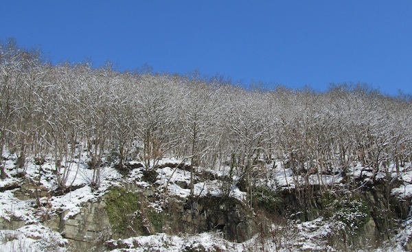
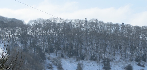
View from window looking North at the ancient woodland (public access) on the hillside (snow - March 2013)
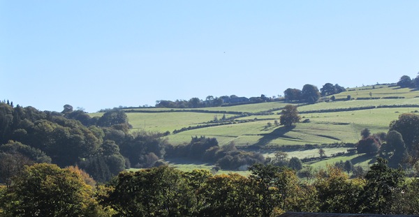
View looking East over rural fields to the hill top farm
View looking South to Little Frydd Wood and Great Frydd Wood
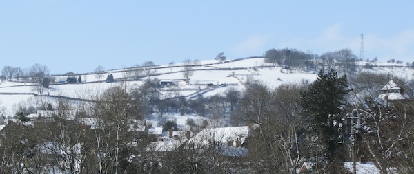
View from window looking South West over Knighton's rooftops and the hills beyond.
Map showing location and proximity to woodland
View My Saved Places in a larger map
